Hudson Valley Forest Patch Update and Assessment
Project Sponsor: New York State Department of Environmental Conservation - Division of Water
End Date: Dec. 31, 2020
Summary
The objective of this project was to delineate road-less forest patches throughout New York State, based on the latest version of the National Land Cover Dataset (2016), and then to assess the condition of those patches within the Hudson River Estuary Watershed.
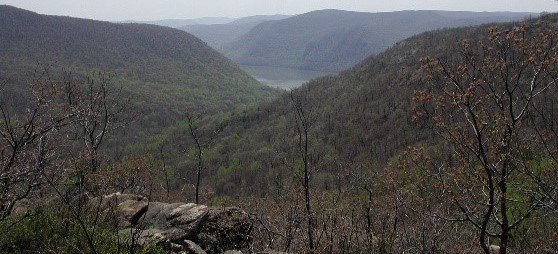
Although forests in the Northeastern US had been increasing in their extent since the early 1900s, more recently we are starting to see this trend reverse, with development fragmenting and reducing the size of forests on our landscape. The objective of this project was to delineate road-less forest patches throughout New York State, based on the latest version of the National Land Cover Dataset (2016), and then to assess the condition of those patches within the Hudson River Estuary Watershed.
For a one page guide to the project check out the fact sheet (PDF, 803 KB).
The full details of the project can be found in the final report (PDF, 2.4 MB).
The forest patches, natural patches, and the forest index can be viewed online on the Hudson Valley Natural Resource Mapper, or downloaded as ArcGIS geodatabases directly from New York Natural Heritage Program at the links below.
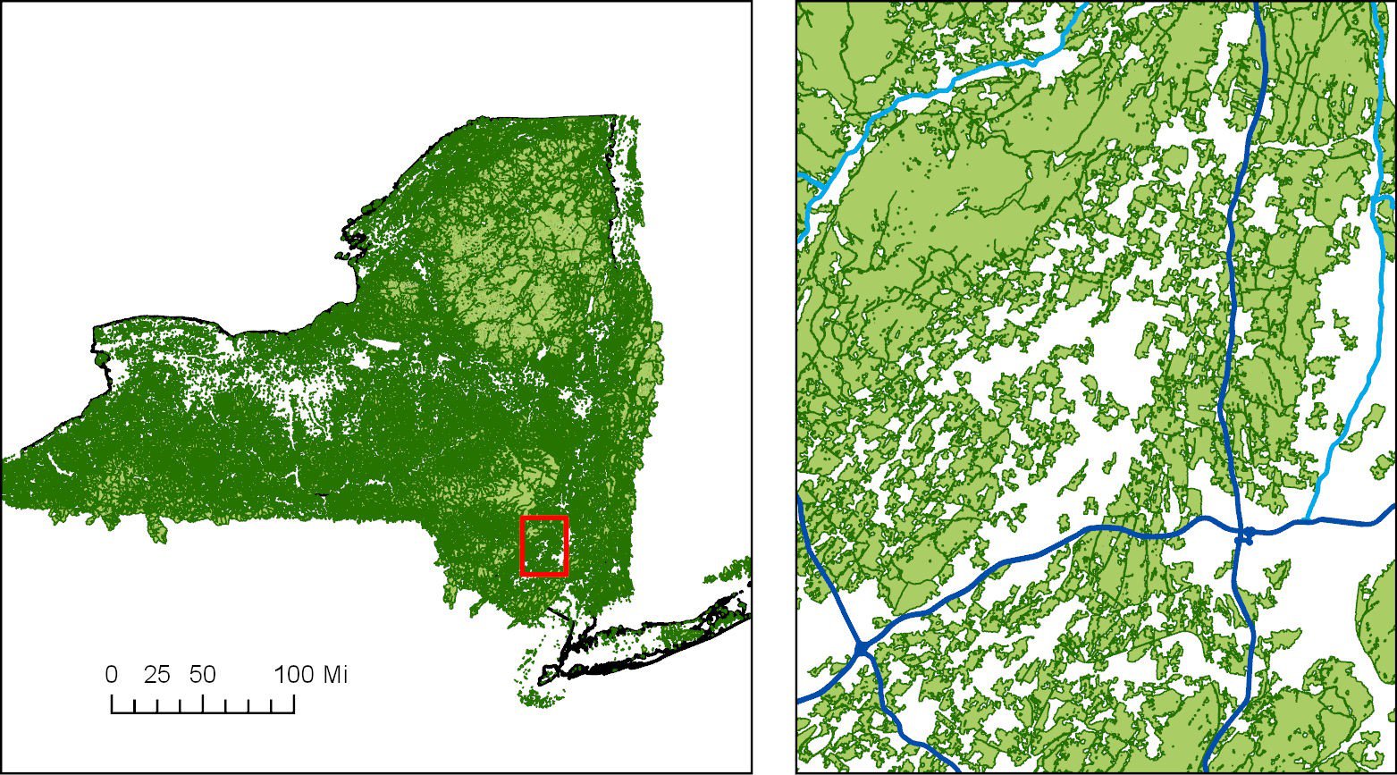
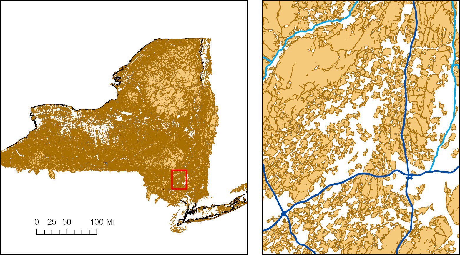
Delineating Forest Patches for All of New York State
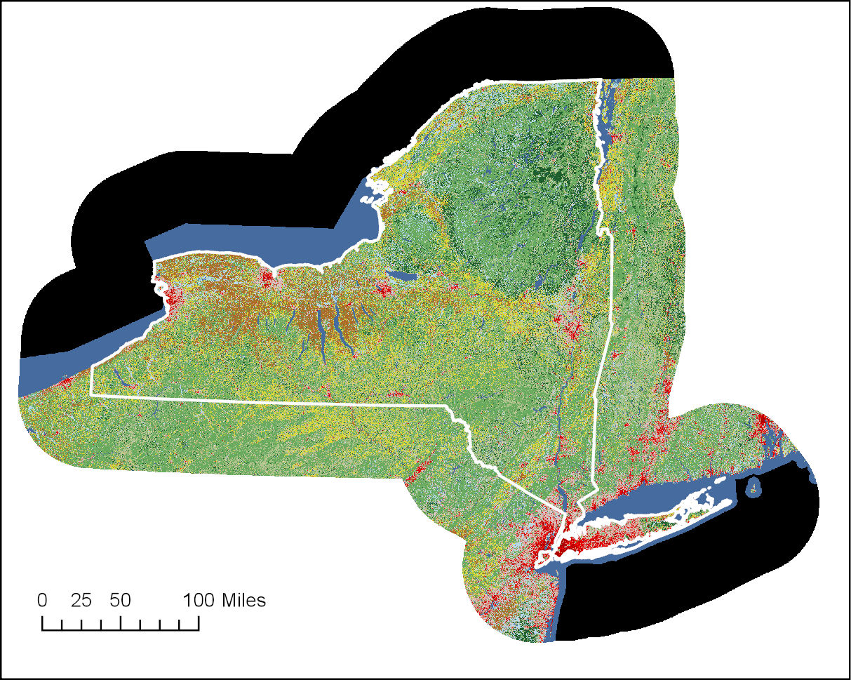
Landcover data from the 2016 National Landcover Dataset was converted to a map of forested landcover by extracting all forest and woody wetlands landcover types (deciduous forest, evergreen forest, mixed forest, shrub scrub, and woody wetlands) and then converted to polygons. A barrier data set of buffered roads and railroads was used to cut the forest polygons into roadless patches. All patches smaller than 100 acres in area were removed.
We also created a map of roadless natural habitat patches by extracting both the forested habitat as well as natural herbaceous, barren, and emergent herbaceous wetland habitat classes from the NLCD and clipping them with the same barrier data set. These were not used in the subsequent condition analysis but are a useful conservation tool.
Estimating Forest Patch Condition for Forest Patches in the Hudson Valley.
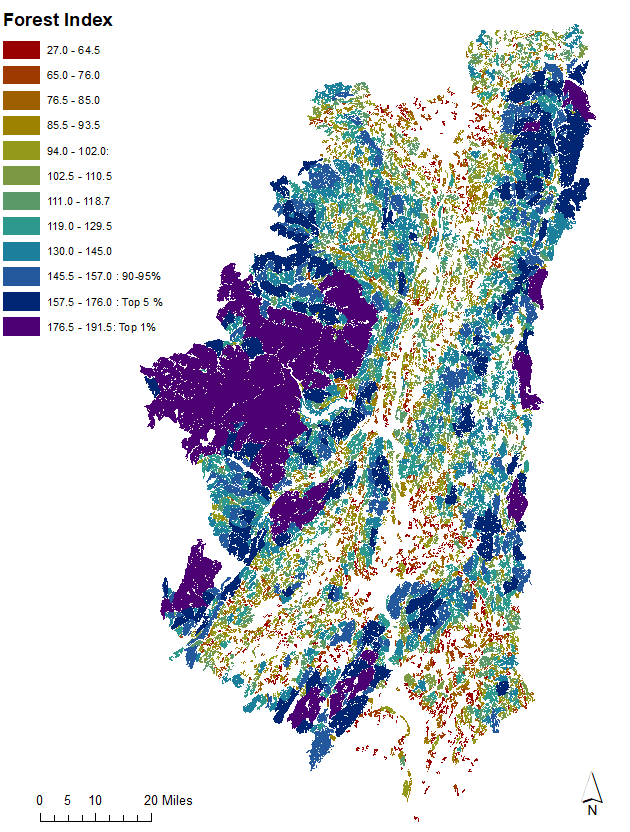
To quantify the condition of forest patches within the Hudson River Estuary Watershed, we assessed each patch for multiple aspects of condition, connectivity, stress, and ecosystem value and then ranked the patches according to the results.
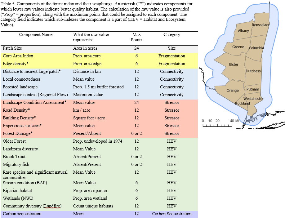
The final Forest Index reflects the condition of a patch relative to the other forest patches in the Hudson River Estuary Watershed and can be used as a conservation tool to help better inform municipalities about the conditions of their local forests.
Download Data
Data are distributed as zipped ArcGIS geodatabases.
Jan. 14, 2021 | Updated Feb. 5, 2021, 10:30 a.m.