What We Do
What We Do
The New York Natural Heritage Program (NYNHP) collects and stores location, population, and habitat information about rare plants, rare animals, and natural communities in New York. Working with our partners, we also gather information on rare species and natural communities from other experts and sources including government agencies and programs, conservation organizations, museums, universities and colleges, and from citizen science efforts. Our Program is not a regulatory agency, but we do participate in screening information that is used by partner agencies like NYS DEC in reviewing residential and economic development projects statewide for impacts to rare species and sensitive ecosystems. Our databases are considered a primary source of information on threatened and endangered species used by NYS DEC during the environmental permit review process.
In addition to providing NYS agencies rare species and community data that can be used in environmental review, we also work with funders and partners to create interpreted products and maps that are used in conserving NY’s native species. We’ve expanded our work in recent years to include creating and managing an invasive species database system (iMapInvasives), ecological modeling, landscape condition assessments, maintenance of a statewide geodatabase of conservation lands (NYPAD), and statewide wetland monitoring. Tools like iMapInvasives, NYNHP Conservation Guides, Important Area Models, Riparian Opportunity Assessment, and NY Wetland Rapid Assessment Method are some examples of products we have developed in response to partner needs for tools and access to data for use in conservation planning, land protection, and ecological restoration.
How We Work
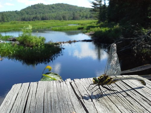
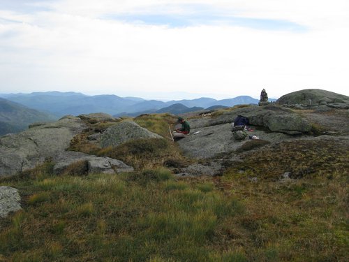
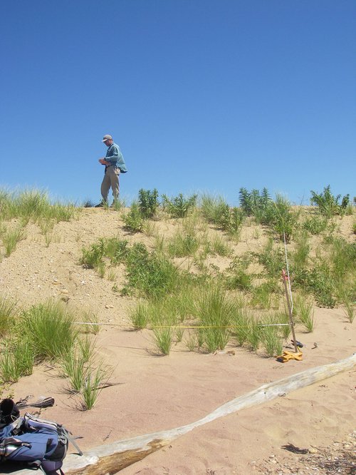
NYNHP gathers and stores scientifically rigorous, standardized information on both native and non-native species of New York. Our staff have backgrounds and expertise in information technology, geographic information systems, ecology, botany, and zoology. With funding from our partners, we conduct field surveys for rare and imperiled plants, animals and habitats across New York State and then process these data into our databases so that they can be shared with conservation partners across the state and beyond.
We use data collection and processing standards and protocols developed by the nationwide network of Natural Heritage Programs and NatureServe. This allows us to determine the conservation status of rare species and their habitats and to do so consistently across their entire range. The information is then used to inform listings at state, national and global scales.
Containing more nearly 15,000 locations of rare species and natural communities, our Biotics database is the state’s most complete picture of New York’s ecology and biodiversity. We use these data to develop conservation status ranks, recommend species needing protection, and create interpreted products. We also maintain a separate database of one of the greatest threats to NY’s biodiversity, invasive species. This database contains over 235,000 locations recorded by our many conservation partners who use iMapInvasives in their work and by NYNHP biologists.
For more details on how we work, including how we assess and rank rare species and their habitats statewide, please visit our program area web pages.
Oct. 3, 2020 | Updated March 6, 2024, 11:36 a.m.