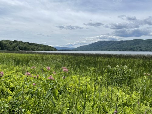
Lake Champlain Basin Functional Assessment
Crown Point Historical Area by Lydia Sweeney
This project aimed to developed assessment tools that support wetland and riparian management and stewardship to improve flood resiliency, water quality, and habitat for native species in the New York State (NYS) portion of the Lake Champlain Basin. The primary objective was to produce a comprehensive wetland and stream assessment dataset available through an interactive online mapping tool to increase the effectiveness of conservation decision-making in the basin. Our strategy included synthesizing scientific information about streams and wetlands and validating this information with field surveys in both systems. This project spanned from January 2021 to January 2023 and was funded by an agreement awarded by the United States Environmental Protection Agency to NEIWPCC in partnership with the Lake Champlain Basin Program.
We developed a spatial model to estimate stream water quality and evaluated these model results through field sampling at 20 locations in 2021 and 2022. We used aquatic macroinvertebrate and water quality metric data from the Stream Biomonitoring Unit of NYS Department of Environmental Conservation and the high-resolution National Hydrology Dataset as our stream layer, with an additional 205 environmental variables. Water quality model outputs were used to generate a list of sampling sites distributed along a gradient of predicted water quality. Our model validation was successful, showing statistically significant correlations for at least two water quality indices, with a trend that streams with lower predicted condition tended to have lower sampled condition. We provide the predicted water quality scores by stream reach in an Online Interactive Map and Data Explorer as the "Stream Water Quality Models" layer under Additional Models.
We assessed the relative opportunity of wetlands to desynchronize flood pulses by slowing and retaining overland surface flow from precipitation and snow melt. We first calculated wetland metrics including wetland size, wetland cover types, floodplain metrics, interception opportunity, and upslope condition. We then "rolled-up" these metrics into a combined desynchronization score available in our Interactive Map as the layer "Wetland Complex Overland Flow Interception".
We also assessed wetland connectivity to streams, wetland proximity to surface water, and the proportion of the riparian zone that is wetland, as well as detected barriers between wetlands and streams. We calculated these metrics independently and as a combined, rolled-up score that strives to estimate stream-floodplain functional connectivity, providing insight into a stream reach’s ecological health. The final scores are available in the Interactive Map as layer "Wetland Complex Floodplain and Surface Water Connectivity".
Through other project work, our three-tiered wetland assessment framework for NYS has demonstrated strong, significant correlations between our remote "Level 1" Landscape Condition Assessment model (LCA), rapid wetland condition assessment ("Level 2": NY Rapid Assessment Method), and intensive vegetation plot surveys including floristic quality metrics ("Level 3"; Shappell and Howard 2018). That is, wetlands with good floristic quality scores (Level 3) or condition scores (Level 2) tend to have comparable LCA scores (Level 1). We assessed the condition of wetlands remotely using the LCA in order to estimate the cumulative effects of anthropogenic stressors at a given location. We validated the model through field sampling at 20 locations, stratified along an ecological condition gradient to ensure our surveys captured the range of anthropogenic stressors present in the basin. Our model validation was again successful, showing a statistically significant relationship between condition scores (NYRAM) and LCA model predictions with a trend that wetlands with lower predicted condition tended to have lower sampled condition. Our wetland assessment field metrics aligned well with key spatial analytic metrics, including Connectivity to Surface Water, Percent Core Floodplain, and Floodwater Desynchronization Capacity.
In all, the intermediate products, final synthesis products, and the tools developed from this project provide land managers with data and tools that can be used to help prioritize conservation and protection work within the Lake Champlain watershed. The landscape in the basin, however, is continually changing, as are the analytic resources available for these types of assessments. We look forward to finding opportunities to make this an iterative product that improves and better fits the needs of resource managers with each iteration.
Our methods and results are outlined in our final report (PDF, 16.4 MB).
We recommend using the report as a companion guide when viewing our functional assessment tools available in our Online Interactive Map and Data Explorer.
For those interested in exploring the spatial data developed during this project in a GIS, it is available for download (ZIP, 344.9 MB).
Jan. 25, 2023 | Updated July 31, 2023, 3:35 p.m.